Blog·
How to spot post-war field boundary loss in aerial photographs
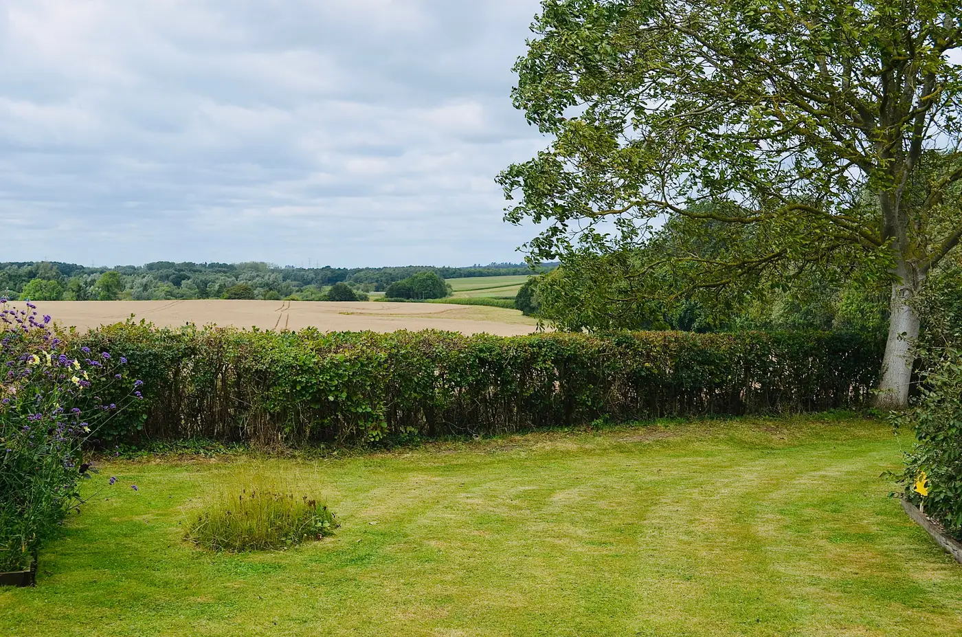
A hedgerow removed in 1958 doesn't just disappear. It leaves a trace, and if you know where to look in an old sortie you can usually find it. Conservation area appraisals and landscape character assessments often assert a "historic field pattern" in the text without checking it against the photographic record, and that's a claim worth testing once you've got a sortie from before the hedges came out.
The short version: post-war agricultural intensification removed a huge amount of hedgerow and field boundary across lowland England between roughly 1945 and 1980, driven by Ministry of Agriculture grubbing-up grants, mechanisation and the switch to combine-scale arable blocks. Some of that loss is still visible as a cropmark or soil mark even where the boundary itself is long gone. The rest you only find by putting a wartime or immediate post-war sortie next to something recent and looking at what's missing.
What a removed boundary looks like from above
Grubbed-out hedgerows rarely vanish without a trace, at least not for a few decades afterwards.
- Ghost lines in pasture. A linear band of slightly different grass colour or growth height, often running dead straight where the modern field edge curves or doesn't exist at all.
- Soil marks on bare arable. A pale or dark linear streak after ploughing, following the old hedge line, especially visible on chalk or clay after a dry spring.
- Cropmarks in cereals. Differential ripening over the old ditch or bank, usually a darker, later-ripening line against the surrounding crop. These show best in a dry summer, a few weeks before harvest.
- Orphaned trees. A single oak or ash standing mid-field with no hedge attached to it is almost always a hedgerow relic. Find three or four in a row and you've got the ghost of the old boundary running between them.
- Parallel ditches with no hedge. Field drains sometimes outlast the hedge planted beside them by decades.
None of this is reliable on its own. A soil mark can be a filled-in ditch, a pipeline trench, or a cropmark from something that was never a boundary at all. What actually confirms it is comparing against a photograph from before the removal happened, which is where a 1940s or 1950s sortie earns its keep.
Reading intensification, not just loss
Boundary loss is one signal. The field pattern it leaves behind tells you more.
Look at field size and shape over the same ground. Pre-war parcels in most lowland parishes sit somewhere between one and ten acres, with irregular, often curving edges following old drainage or ridge-and-furrow. Post-amalgamation arable blocks are bigger, straighter and squarer, sized for a combine's turning circle rather than a horse team's. Where you see three or four small irregular fields replaced by one large rectangular one, that's not coincidence: a bank-and-ditch boundary doesn't get ploughed out by accident, and the archaeology under it usually goes with it, flattened rather than preserved under a hedge bank.
Watch for the knock-on signs too: new field drains cutting across old parish or tithe boundaries, shelterbelts planted to replace the windbreak function the hedges used to serve, and farm tracks rerouted to serve the new, larger blocks rather than the old ones.
Why the comparison has to be decadal, not continuous
A conservation area appraisal doesn't need a weekly change feed. It needs to establish what the landscape looked like before a specific change and set that against what's there now, with enough resolution to read a hedge line rather than guess at it. That's the gap Historic Landscape Change is built around: orthorectifying scanned wartime and mid-century sorties and setting them against a recent high-res pass, so you can look at the same parcel eighty years apart without booking a day at the record office first.
If a site review needs that then-and-now comparison laid out properly, it's worth seeing what a pulled pair looks like for your area.